TRUSTED LAND SURVEYING EXPERTS
Bereza Surveying is one of the largest land surveying companies in Canberra with over 30 years of experience in the field. We are a reputable business offering surveying support to large companies in the construction sector. We also carry out land surveying for builders and residential customers in both the ACT and NSW.
REGISTERED LAND SURVEYORS YOU CAN COUNT ON
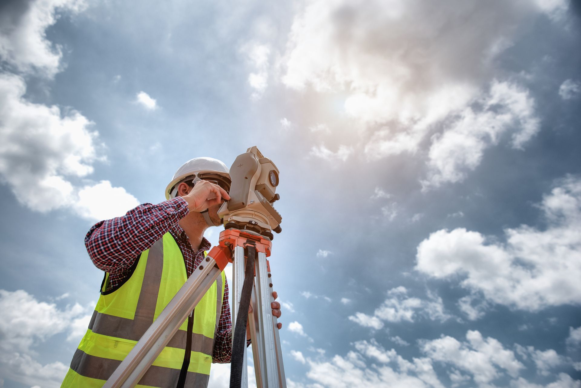
We only use knowledgeable and skilled land surveyors on the job. Our team approaches every project with the highest level of professionalism. Our surveyors are experienced with a range of projects, including high-rises, residential, commercial, and/or major infrastructure projects.
WHY CHOOSE US?
We are known for our high-quality and prompt service. Our team of experienced and qualified professionals conducts surveying services to establish boundaries and offer spatially accurate, highly detailed reports so you can avoid any disputes.
All Bereza surveyors are qualified and eligible to be members of:
- The Institute of Surveyors ACT and NSW.
- The Institute of Engineering.
- The Mining Surveyors of Australia.
- The Spatial Sciences Institute.
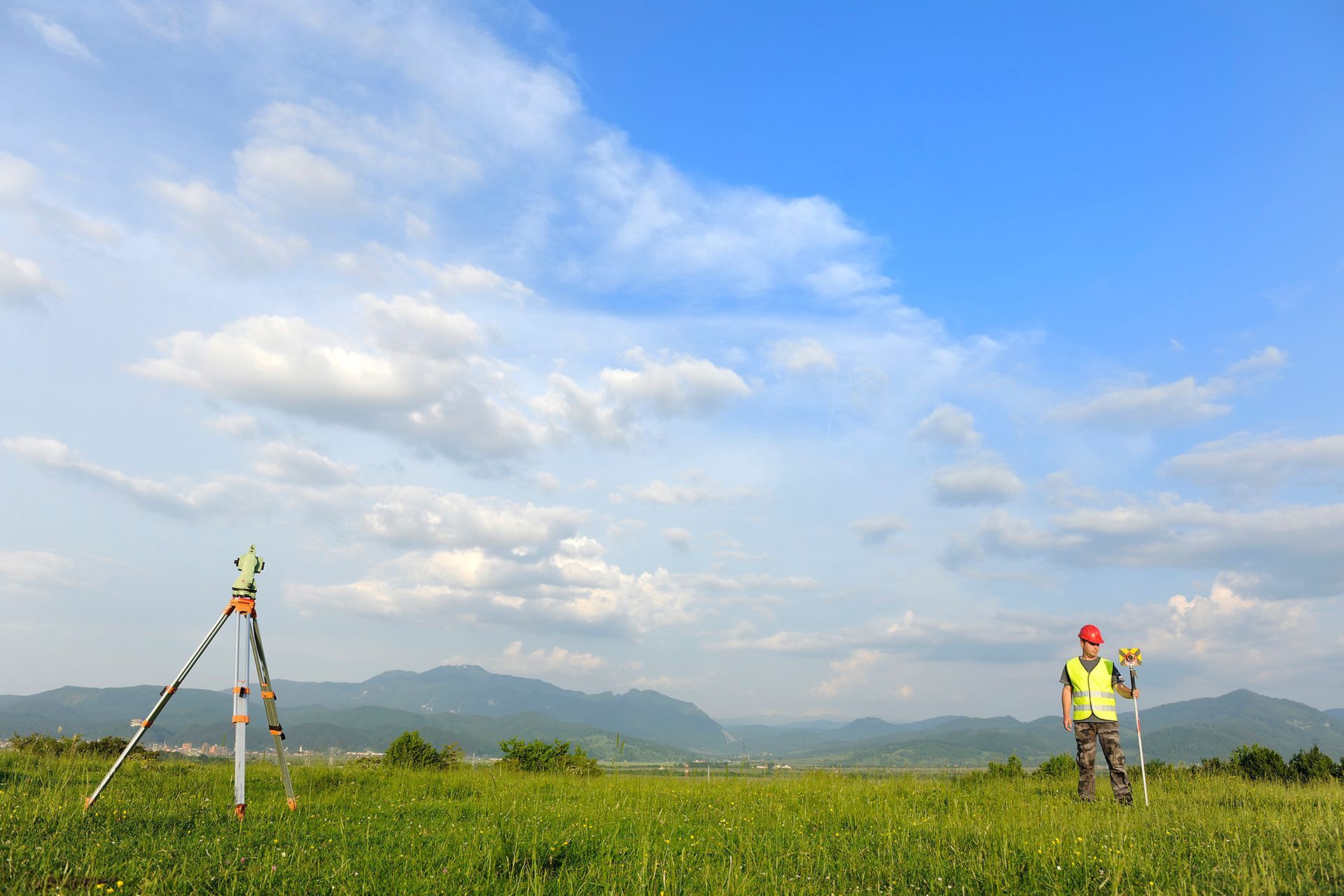
LATEST TECHNOLOGY & SURVEY EQUIPMENT
Bereza Surveying uses state-of-the-art technology to survey land, buildings, or constructions. Our highly efficient drone surveying & aerial surveying services can provide quality aerial mapping for site monitoring and digital terrain models. We also use GPS and robotic surveying equipment for detailed, reliable, and customised survey reports.
CANBERRA'S EXPERT TEAM OF LAND SURVEYORS
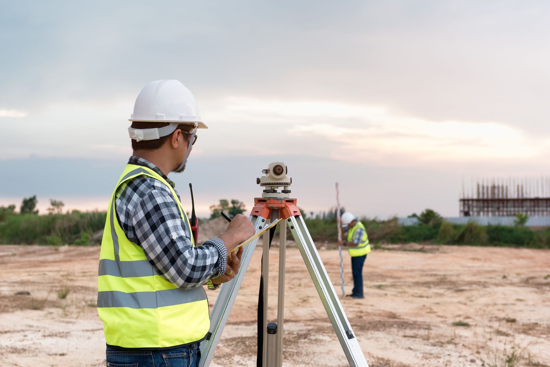
Bereza Surveying has extensive experience in surveying land development projects. Our surveying experts can assist you through the development process from start to finish and advise on the best land utilisation and subdivision layouts. We also carry out topographic surveys for a wide variety of projects. You can create detailed site plans with the spatial information we provide for master planning or residential developments. Detailed topographic surveys can also be done for inclusion in development applications. We can also do tree surveys and building facade elevations for commercial constructions.
Talk to our team of experts on 0412 419 508 for all your commercial and residential surveying needs in Canberra, ACT.
Hire our experienced and reliable surveyors in Canberra for your residential, commercial, or large infrastructure projects.
Call us on 0412 419 508.